
MARPLOT 5.0.1 is now available for download
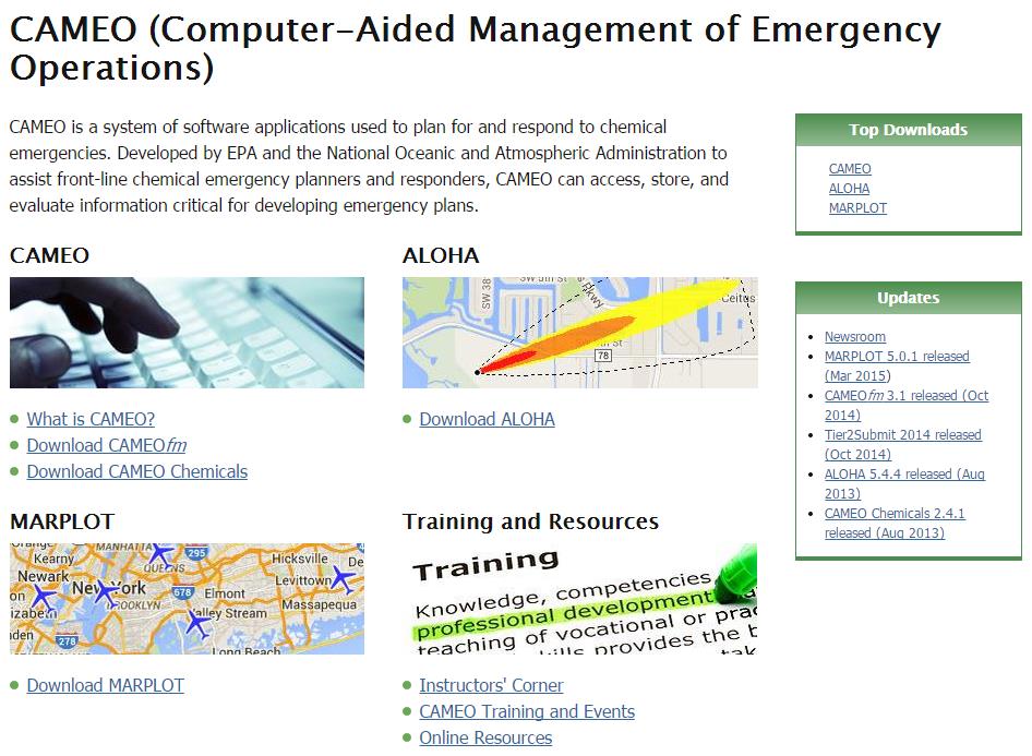
MARPLOT is the mapping program for the CAMEO software suite, which is used widely to plan for and respond to chemical emergencies. Learn more about the CAMEO software suite.
MARPLOT’s easy-to-use GIS interface allows you to add objects to a map, as well as view and edit data associated with the objects. You can choose between several background basemap images, and you can customize your map further with annotations and online layers from Web Mapping Services. You can also interact with the map in other ways, such as getting population estimates within an area. MARPLOT can be run by itself as a general mapping program. It can also be used interactively with programs in the CAMEO suite to display ALOHA threat zone estimates on the map or to link map objects to database records in CAMEOfm.
